
They laughed at it for years.
They called it Duff’s Folly, and said it would be about as useful as building the pyramids — a giant, expensive monument that would never protect a single home. The plan sounded crazy: dig Winnipeg a second river, just in case.
Decades later, that joke became the only thing standing between this city and the flood of the century.
The spring Winnipeg never forgot: 1950
To understand why, picture Winnipeg in the spring of 1950. The river rose, and kept rising, and stayed above flood stage for fifty-one days. More than ten thousand homes filled with water. Around a hundred thousand people — roughly one in every three in the city — packed what they could and left, in the largest evacuation Canada had ever seen.
Winnipeg learned the hardest lesson a city can learn: its own river could empty its streets whenever it chose.
One man would not drop the idea
One man simply would not drop the idea: Dufferin Roblin — everyone called him Duff. He pushed the floodway while still leading the opposition, and when he became premier in June 1958, he pushed it through. Ottawa agreed to pay up to sixty cents of every dollar.
But Manitoba did not even have a million people back then, and to the critics, this looked like a premier building himself a pyramid: Duff’s Ditch.
Digging a second river
The digging started anyway, in the fall of 1962. For five and a half years, crews carved a channel forty-seven kilometres long around the east side of the city, moving seventy-six and a half million cubic metres of earth — more than was moved for the Suez Canal. At the time, only the Panama Canal project had moved more.
It finished in March 1968, on time and under budget, for sixty-three million dollars.
How a sleeping river works
Now here is the strange part. This second river is asleep almost all the time. Most of the year it is just a wide, dry, grassy ditch.
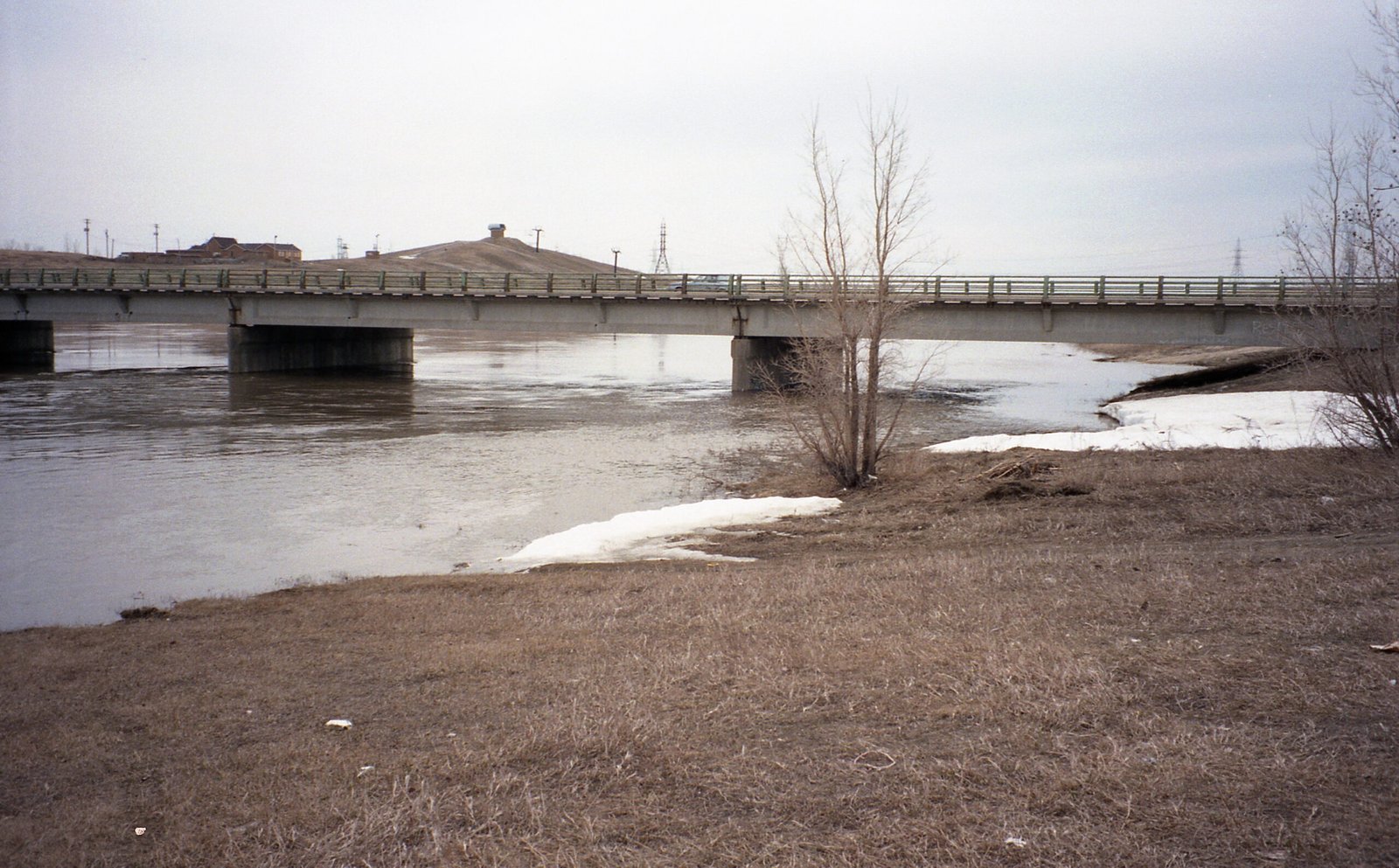
Its famous gates are not even in the channel: they lie flat on the bottom of the real river, south of the city, like a trapdoor nobody notices. When a flood comes, the gates lift and hold the river back, just enough. The backed-up water spills sideways into the waiting ditch, takes a forty-seven-kilometre shortcut around the city, and joins the Red again below Lockport.
The ditch only wakes up for the extra water — the part the city cannot handle.
It was formally opened in October 1968, but Duff Roblin was no longer premier. Somebody else got to cut the ribbon on the ditch that carried his name. It went to work the following spring: by 2022, it had been needed in thirty-five of its fifty-three years.
1997: the night it was built for
Then came the night it was built for. The flood of 1997 was the biggest since 1826, with half again as much water as 1950. South of the city, whole towns held out inside ring dikes, like little islands, while some twenty-eight thousand Manitobans were forced out of their homes.
On one desperate night, the people running the floodway broke their own rulebook to keep Winnipeg safe.
Without the ditch, the water would have stood two and a half metres over the city’s dikes and flooded some two-thirds of Winnipeg. Instead, only about thirty Winnipeg homes got wet.
But 1997 was not free: the damage on the Canadian side of the valley ran to around five hundred million dollars, and Grand Forks, just across the border, with no ditch of its own, was devastated.
Winnipeg’s answer: make the ditch bigger
Winnipeg’s answer was very Winnipeg: make the ditch bigger.
Not deeper — digging down would threaten the drinking water stored in the ground below — so they made it wider. Now it can carry more than twice as much water as the original, enough for a flood expected only once in seven hundred years.
In 2000 it was named a National Historic Site of Canada. And in the fall of 2019, it did something it had never done before: it went to work in autumn.
The joke that paid for itself hundreds of times over
Since 1968, this ditch has prevented more than forty billion dollars in flood damage — repaying what it cost hundreds of times over.
And yet most days you would never know it saved anything at all: people walk and cycle beside it on the Duff Roblin Parkway Trail, on dry grass, above a sleeping river.
People laughed because it sounded like the pyramids: huge, pointless, built for one man’s glory. It turned out to be the exact opposite.
Duff’s Ditch only looks pointless on the days Winnipeg stays dry — and those are exactly the days it is doing its job.
Keep exploring:
- The Winnipeg General Strike of 1919: The Six Weeks a City Shut Down
- Inside the Manitoba Legislative Building: Fossils, Secrets and the Golden Boy
Sources: Manitoba government floodway materials · National Historic Sites of Canada (designated 2000) · Contemporary reporting and records of the 1950 and 1997 Red River floods
Image credits: Red River Floodway from the air — JPark99, public domain · Duff Roblin portrait — Ashley and Crippen, via City of Toronto Archives, Attribution · Floodway map — Kmusser, CC BY 2.5 · Floodway gates, St. Norbert — Dano, CC BY 2.0 (all via Wikimedia Commons)